描述
RY12A1 UAV GPS Beidou Receiver with Dual Satellite Support for Precise Drone Navigation
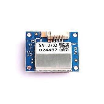
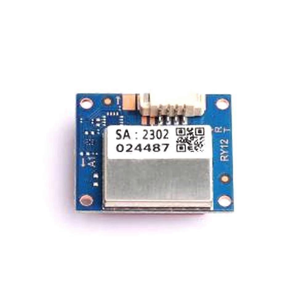
RY12A1 Satellite Positioning Module (1 Pcs)
A compact satellite positioning module combining GPS and Beidou support, designed for reliable UAV navigation and positioning.
Why you need it
Multiconstellation positioning (GPS + Beidou) increases satellite availability and redundancy, improving reliability for UAV missions.
Provides precise location data required for autonomous flight, waypoint navigation, flight stabilization, and mission logging.
Small and lightweight form factor allows easy integration into multirotor and fixedwing UAV platforms without adding significant payload.
Key benefits
Improved navigation confidence: dualsystem support reduces the risk of signal loss and improves fix times in challenging environments.
Integrationready: built for UAV usage, it supplies the positioning information required by flight controllers and autopilots.
Mission flexibility: supports a variety of aerial tasks from surveying to inspection by delivering consistent satellitebased positioning.
Core attributes
Model: RY12A1
Functionality: Satellite positioning module providing GPS and Beidou positioning data for UAVs.
Compatibility: Designed for UAV navigation systems and flight controllers that accept external satellite positioning inputs.
Size and weight: Compact, lightweight form factor suitable for small to medium UAV platforms.
Material and build: Rugged construction intended for airborne use and repeated flight cycles.
Performance characteristics: Multiconstellation support provides faster fixes and greater satellite visibility compared with singlesystem receivers.
Typical applications
Aerial mapping and surveying: Reliable positioning for geotagging photos and constructing accurate maps from dronecollected data.
Autonomous flight and waypoint navigation: Supports stable route following, automated missions, and tohome functions.
Inspection and monitoring: Enables consistent location tracking for infrastructure inspection, agriculture monitoring, and environmental surveys.
What to expect in use
Plugandplay integration into UAV systems that accept external positioning modules.
Enhanced positioning stability when operating in areas with partial sky visibility due to Beidou and GPS redundancy.
A compact solution that minimizes impact on payload capacity while providing essential navigation data.
Package
Quantity: 1 Pcs
Model included: RY12A1 satellite positioning module (GPS + Beidou)
For UAV builders and integrators who need reliable satellite positioning without adding bulk, the RY12A1 offers multiconstellation capability in a compact module designed specifically for aerial applications.
-
Fruugo ID:
450259536-948633992
-
EAN:
6182582004592